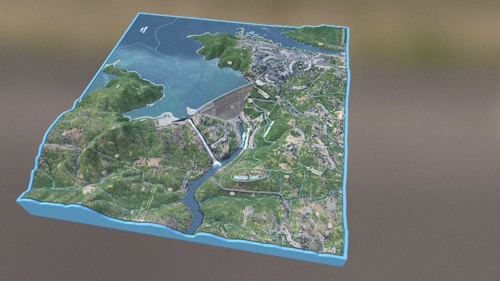
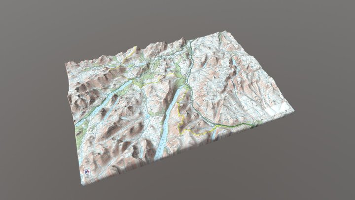
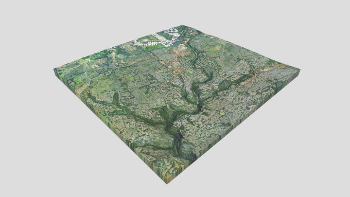
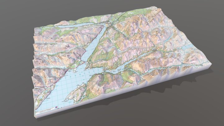
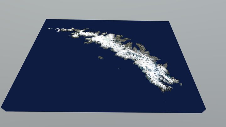
EOSGIS integrates data with GIS, along with any other information or maps it’s provided with, to create custom cartography. We specialize in 3D terrain visualization, making an initial analysis of the terrain and the data, in order to display information