Worcestershire - England
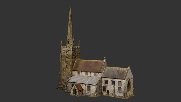
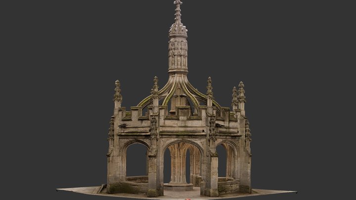
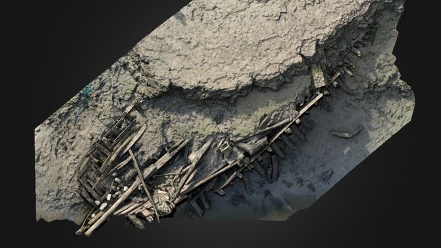
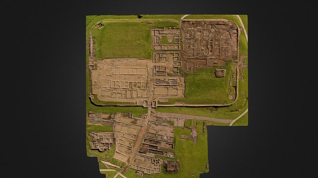
Aerial photography and photogrammetry
Popular 3D models
About
Archaeology, geomatics and UAS (drone) surveying, continuously developing methods, improving interpretive reporting and employing new sensors, such as multispectral, thermal and LiDAR. A SUMO Group company, supplying multi-disciplinary surveying.
Category
Organization / 3D Scanning Studio
Website
Member since
February 16th 2015
Stats
86.0k views
1.1k likes
3.7B triangles
1.9B vertices
