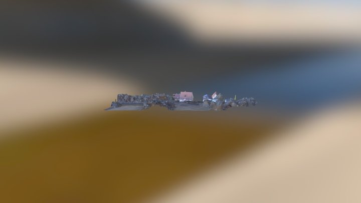
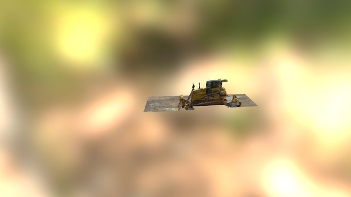
Wir machen Luftbilder, Filme mit Muiltikopter und erstellen Karten und Geländemodelle aus Luftbildern.We do aerial imaging, filming by drones and develop maps and digital surface models from orthophotos.
Organization / 3D Design Agency
http://www.camerapiloten.de
February 13th 2017
115 views
0 likes
238.0k triangles
120.5k vertices