Hop on board as we continue our journey Around the World in 80 Models! We began our itinerary at Sketchfab headquarters in New York and are working our way through Europe, Africa, Asia, Oceania, South America, and North America. To catch up on past destinations, check out the rest of the Around the World in 80 Models series.
This week we head to Arizona, where archaeologist Doug Gann tells us about a rare and exciting find of 2500-year-old footprints just outside of Tucson.
Tucson, Arizona: Sunset Mesa Footprints
My name is Doug Gann, I work as a preservation archaeologist with Archaeology Southwest in Tucson, Az. I got started in 3D modeling in archaeology in 1989, as an undergraduate student at the University of Arizona, and I incorporated 3D mapping and modeling into my archaeological practice throughout my graduate studies. I first used Lidar scanning in 1996 and moved on to close range non-stereo pair photogrammetry in 2000. With the advent of programs like Photoscan I’ve been recording essentially everything I can, but now I am much more interested in developing tools to share these types of digital 3D content in interpretive contexts that go beyond what is currently possible on websites. My dissertation looked at the social use of space at a series of ancestral Puebloan villages where I worked on excavation for 15 summer field seasons.
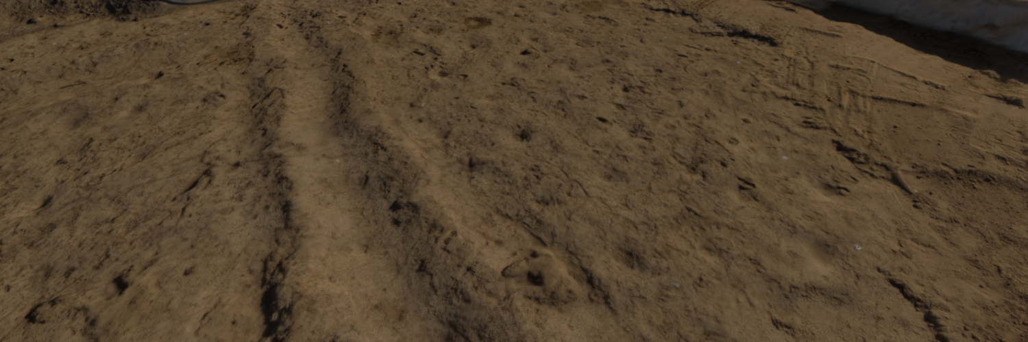
The Sunset Mesa Footprints photoscan displayed here is a recording of one of the most unique deposits I have ever seen in over thirty years of archaeological research. The model shows the exposure of an ancient surface created by farmers in the Tucson Basin around 2500 to 3000 years ago. Southwestern Archaeologists refer to these ancient farmers as part of an Early Agricultural Period, most likely directly ancestral to the Hohokam culture who used similar farming systems from AD 300 to 1450. The surface recorded here is a rare recording of 1 or 2 days in time, a wet day from a long time ago. At the scale of the entire exposure, the surface shows 2 “cells” of a farming plot. Irrigation canals bisect these cells, and inside the earthen boundaries we see evidence of planting holes for Maize, and the footprints of the ancient farmers themselves.
This deposit was exposed by a cultural heritage management company called SWCA Inc who performed the excavations, and I recorded the initial discovery by SWCA’s subcontractor Dan Arnitt. Dan called our company upon the shock of finding the initial footprints, and we hurried over to view what had been uncovered. 20 or 30 footprints were visible. Moms, dads, kids, dogs. Their presence and their history recorded in the thick mud. I’m not ashamed to admit to tears in my eyes, this was the most direct connection to the ancient past I had ever experienced.
These deposits are particularly important as the provide evidence on the process of human adoption of agriculture as a way of life, and the beginnings of sedentary villages. This surface represents one of the earliest known farms north of the Valley of Mexico.
 Yours truly, moving the camera into position. Working in socks is good strategy to preserve fragile deposits.
I recorded this first 3 by 3 meter exposure with our trusty Canon D30 on the end of a yellow “hotstick” for aerial coverage. By the next day it was clear that this deposit probably extended for at least 100 acres in all directions, but the bridge that was going to be built over this spot in 4 months could not be relocated. Digital photogrammetry then became critical in documenting the deposit as it was being excavated. I would wind up shooting 7 more models as the surface was exposed, finally reaching an exposure of roughly 40 by 50 meters. The model displayed here was the third of these recordings.
4 months later, the excavated portion of the site is buried under a new roadbed, but we know for certain that the footprint deposit continues for at least half a kilometer to the South. Meanwhile the data collected is being used for detailed analysis of ancient farming technologies, generating 3D prints, and digital animations to share with the public.
To see more of Doug’s models here on Sketchfab, check out his profile!


