About
My name is Josetxo Casas and I am a building engineer. I have always been very interested in 3D modeling, and I was very impressed when I learned about photogrammetry and other 3D digitizing techniques, researching for a Master’s thesis in Architecture.
I assisted at an international summer school workshop on graphic documentation of heritage in order to improve my knowledge of photogrammetry with some of the best specialists in Italy and Spain.
With more than 9 years in the world of 3D digitization, I have learned how the discipline applies to architecture and heritage, and also to industrial fields, like metrology and industrial topography, reverse engineering, etc.
I founded the brand Fovea, where I work as a freelancer and collaborate with architects and engineers. We do all kinds of scanning projects, from very small to very large scale.
Our primary work is to digitize by scanning (LIDAR, structured light) and photogrammetry. We create technical documentation for architects and engineers. But we also carry out projects creating hyper-realistic scenarios for virtual reality.
Workflow
Whenever I make 3D models for technical purposes, I use scanners, LIDAR for large objects or structured light for small 3D objects. I use these methods for the speed of obtaining the data, but, above all, for the accuracy +/- 1-2mm for the LIDAR and 50 microns for the short-range scanners.
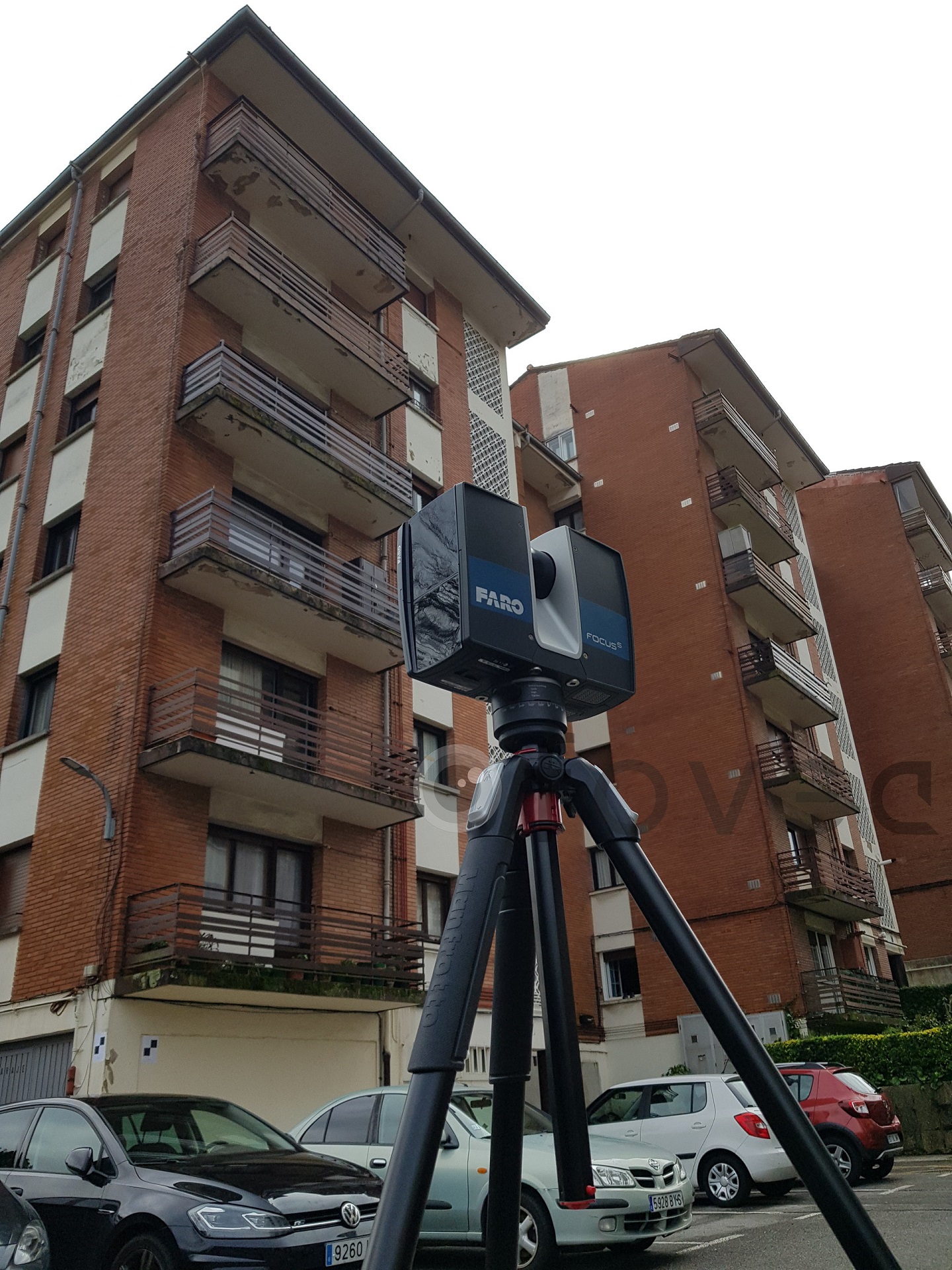
- Scanning a building
- Scanning an industrial piece
For 3D measurement, I use several brands. For long-range scans, I like to use the LIDAR ‘FARO’, and for scans of medium to small size objects, I use articulated arms or structured light scanners. For topography, I use a LEICA brand total station.
In nearly all of my heritage work, I use photogrammetry due to the high resolution of textures that can be obtained. But whenever the work has a documentation function, I also use scanners or measuring instruments to ensure the metric quality of the 3D model.
For photogrammetry I use several brands—I do not have any favorite camera body. I place more importance on the lenses; Zeiss, Fuji, and Nikon are some of the lenses I use. The most important thing is having a fixed focal length and good optical construction. Perfectly calibrating the camera and lens assembly is also key. Use polarizing filters and make a good choice with the lighting.
Depending on the job, different software is used, but the steps common to all are to:
- Filter the data
- Register and combine all the data
- Clean and filter all the combined data
- Make the point cloud uniform or decimate the mesh
- Export the data
Normally, to join scan data with photogrammetry, I use topography tools and work on the same coordinates system to project the textures perfectly.
Projects
Practically every week I scan a new object or new building. Many of them are professional commissions, but others are personal and hobby projects.
I particularly like everything related to architecture. Moreover, anything that is at risk of deterioration is special to me and that quality makes me more enthusiastic when it comes to scanning.
Navarra (where I’m from) has a lot of heritage, which allows me to scan both for work and as a hobby.
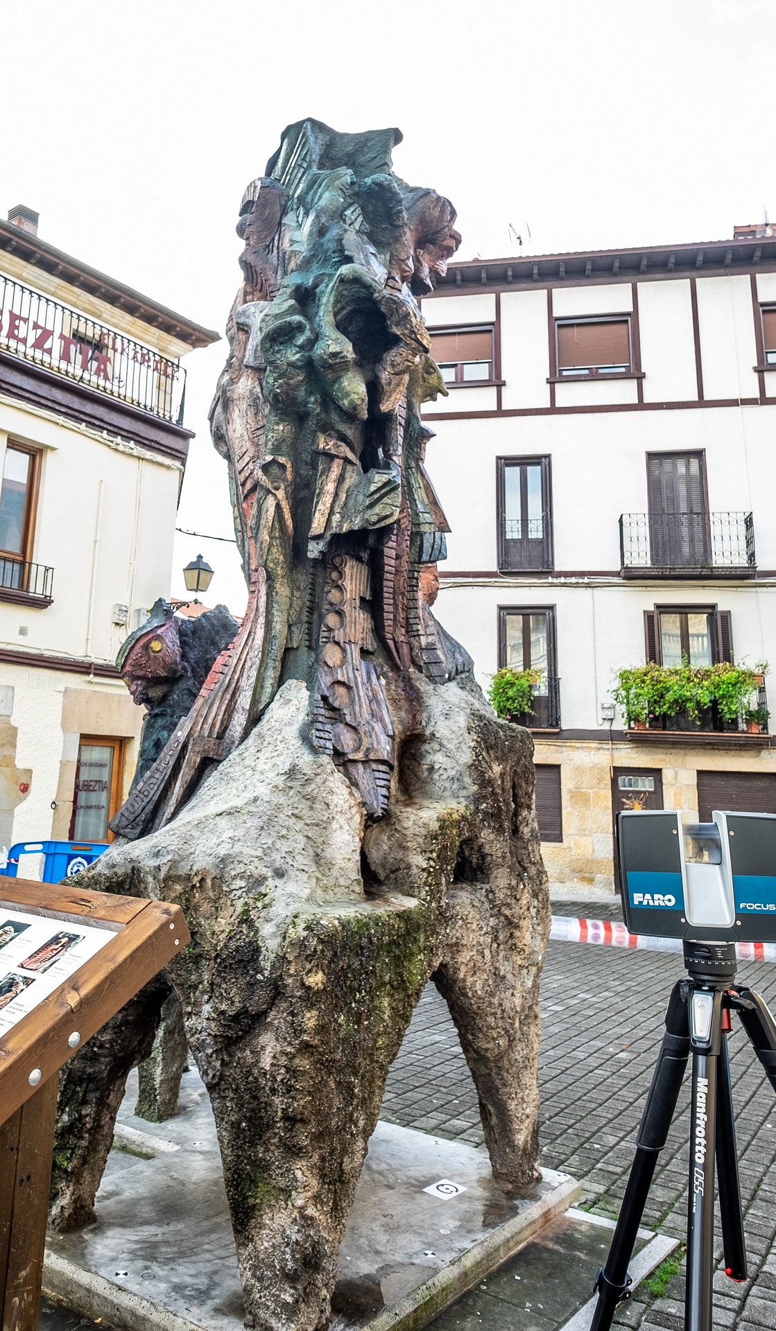
One of my favorite projects was the scan of the sculpture ‘Raices Alsasuarras’, due to the requirement that I make a 1:1 scale replica. This project was complicated by the fact that the sculpture has a height of 4.3 meters and a really complex geometry to scan.
The sculpture was digitized with 2 types of scanners, and reference points were used to join all the scans and the texture obtained via photogrammetry.
Tripods with a height of 4.5 meters were used. 3500 images were taken and it took 2 days to scan it completely. The accuracy obtained in the whole set was +/- 2 millimeters, and, in detailed areas, sub-millimeter.
I also like to make models with data from Open Heritage—it transports you to the place and allows you to see how others do the work.
I think organizations like CYARK do a great job of documenting heritage around the world.
Diffusion & Sketchfab
I consider Sketchfab a very useful tool to share the 3D models. Its simplicity and accessibility ensure that anyone can access models both from desktops and from mobile phones.
For example, this model of the altarpiece of San Saturnino is a model that, having been reduced from several million to approximately 1 million, allows anyone a virtual visit and access to additional information.
I also think that it is a success that the platform allows point clouds; they are a great resource that, with the new era of 5G mobile communication and an efficient form of data compression (octree) or similar, can allow us to visualize large point clouds with millions of points.
Looking ahead
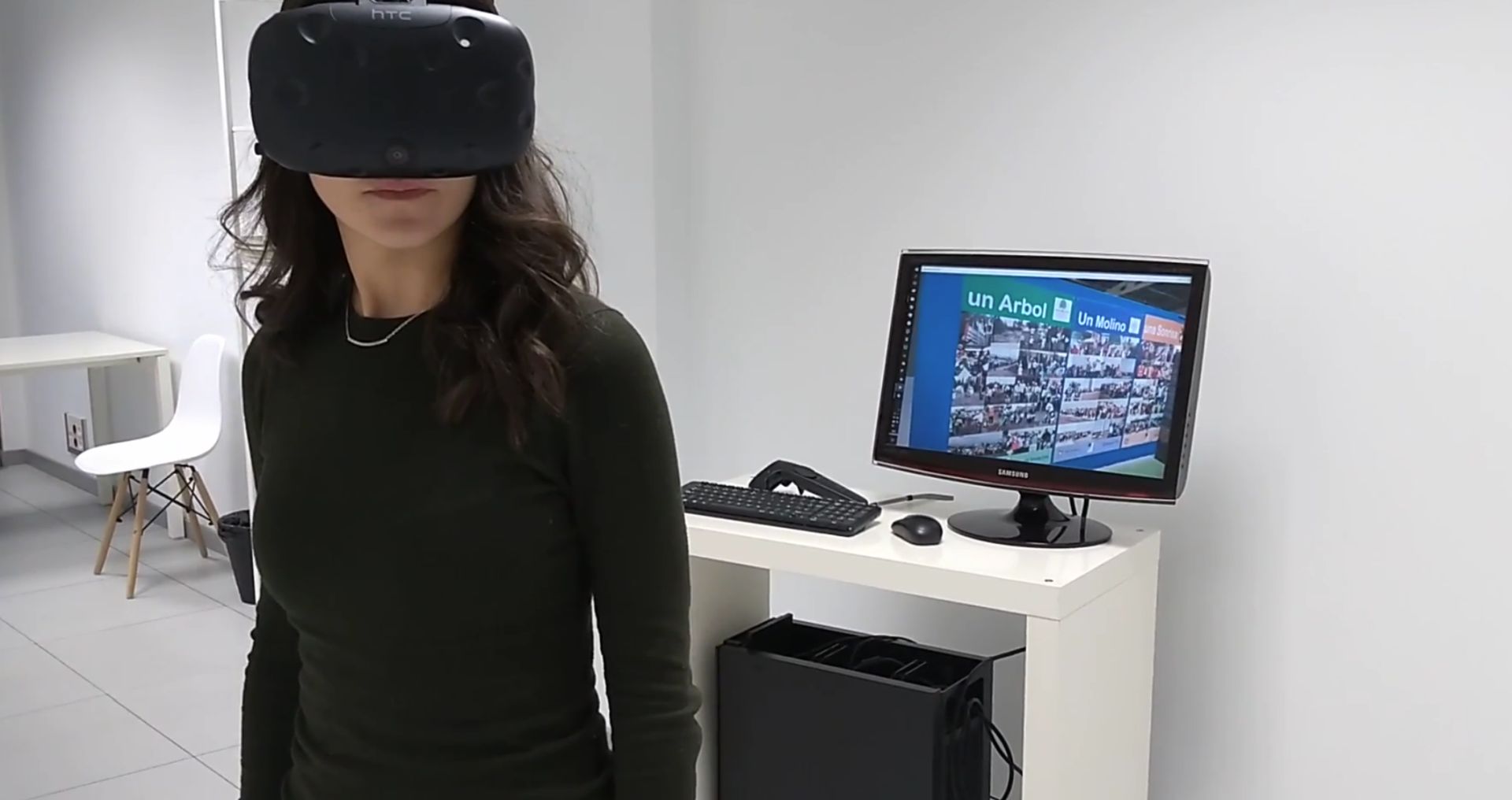
We have already carried out several virtual reality projects, for training in the industry and for the diffusion of heritage. We are focused on developing hyper-realistic scenarios, and collaborating with other freelancers who specialize in animation, programming, and character modeling.
Virtual reality is a tool that will be used more and more, and the union of the capacities of the different technicians in the 3D world will allow for a great diffusion of heritage.


