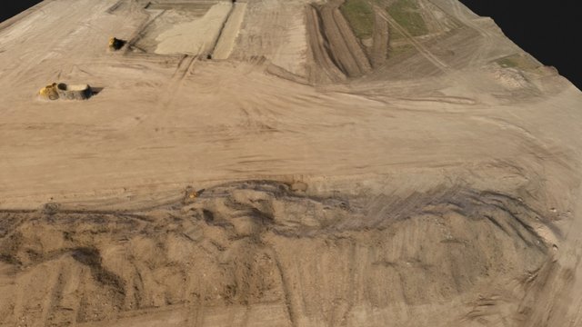
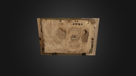
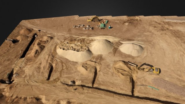
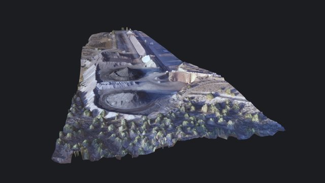
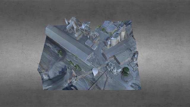
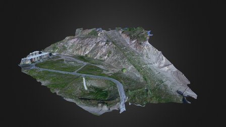
PSE and Dronos uses drone technology to gather 2D images to splice together to create 3D renderings of environments that can then be used for different applications, such as volumetric measuring, periodic site changes, BIM, Engineering support and more.