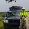
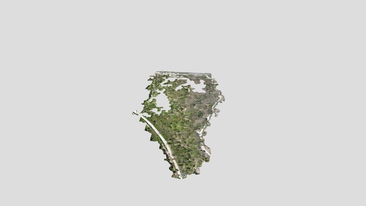
I specialize in the use of UAVs, ArcInfo GIS, LiDAR, satellite imagery, aerial photography and multi-spectral imagery in wetlands, water quality, bathymetric/hypsographic modeling, restoration monitoring and litigation support. I am a Part 107 certified C