Portland, OR
Survey Grade Aerial Mapping Created From UAV Imagery By A Certified Photogrammetrist & Mapping Scientist
Popular 3D models
About
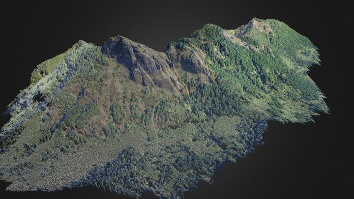
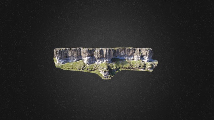
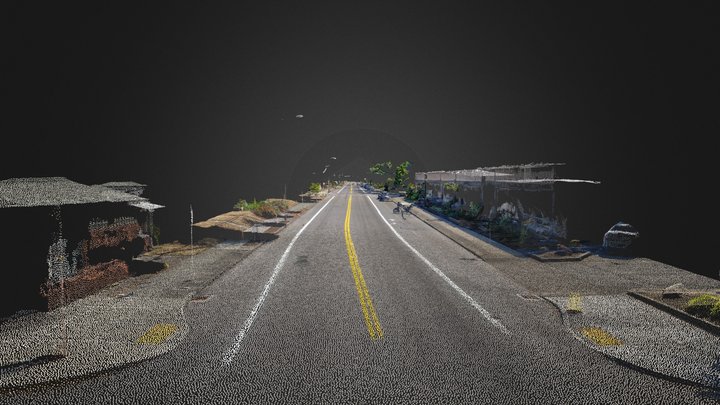
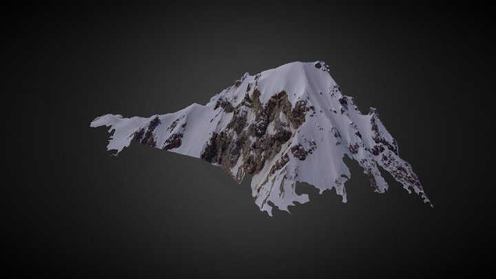
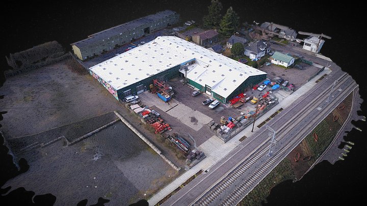
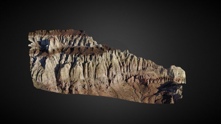
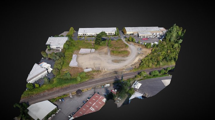
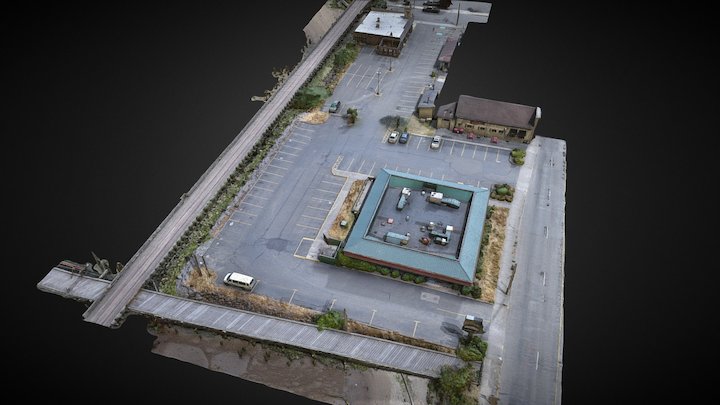
I am a Certified Photogrammetrist and Mapping Scientist in Remote Sensing who works with professional land surveyors to create ultra high resolution 3D models of sites for survey-grade measurement and analysis. Follow Me! Email if you have an inquiry!
Category
Individual / Scientist
Website
Member since
March 16th 2017
Stats
55.6k views
501 likes
11.7M triangles
45.1M vertices