Popular 3D models
About
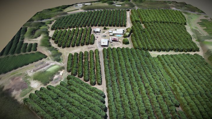
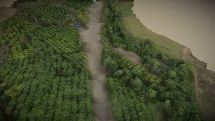
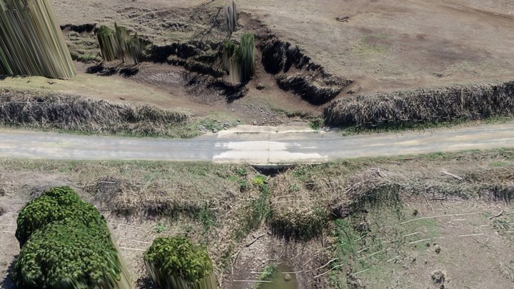
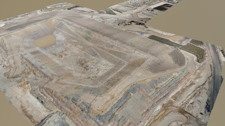
Licensed provider of precision GPS-located aerial photography, aerial mapping, 3D modelling, contour mapping and GIS surveys using fixed wing and multicopter drones (UAVs). We specialise in servicing the needs of development, construction and agriculture.
Category
Organization / Scientific Organization
Website
Member since
December 11th 2015
Stats
1.7k views
4 likes
14.6M triangles
7.3M vertices
