About
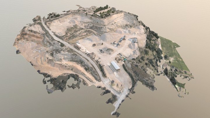
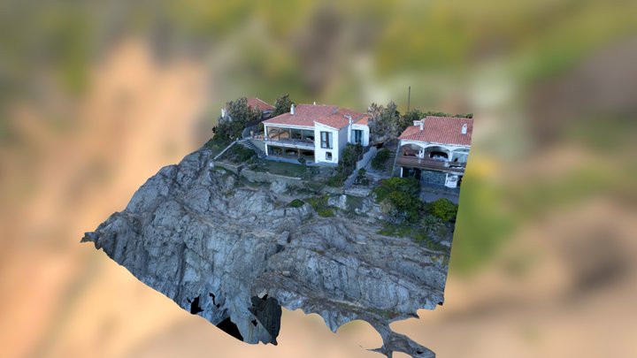
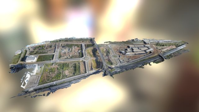
ZCOPTERS is an aerial imaging and remote sensing company that uses UAVs (drones) to acquire information. We create high quality images, videos, cartographic maps and 3D models
Website
Member since
March 4th 2015
Stats
14.3k views
4 likes
5.7M triangles
2.8M vertices
