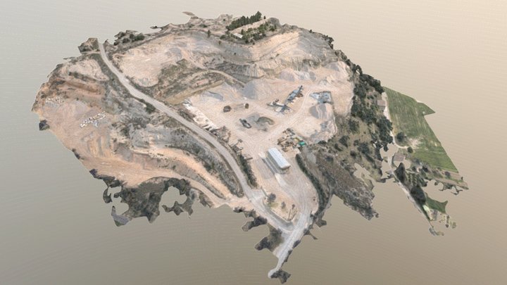
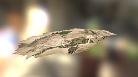
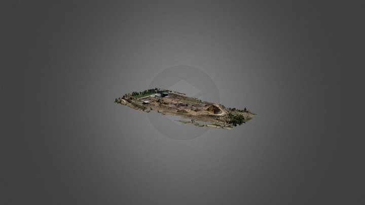
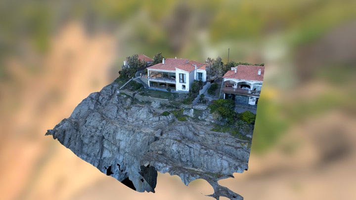
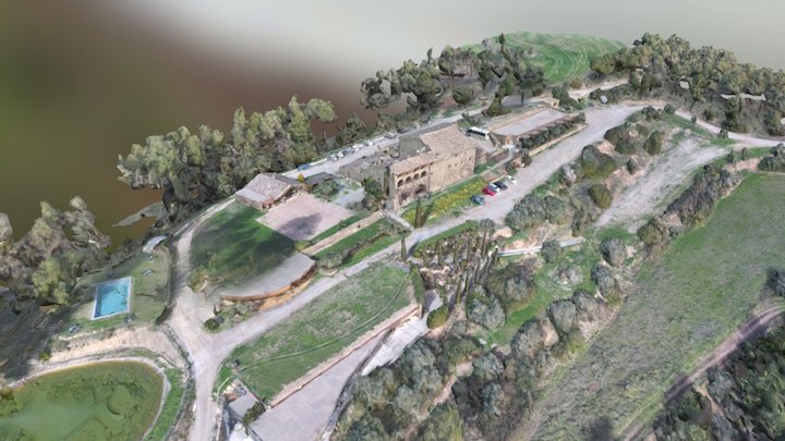
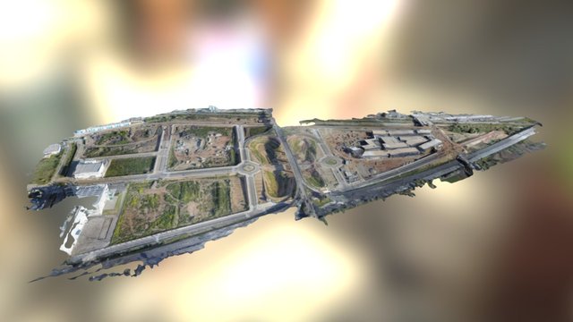
ZCOPTERS is an aerial imaging and remote sensing company that uses UAVs (drones) to acquire information. We create high quality images, videos, cartographic maps and 3D models
http://www.zcopters.com/
March 4th 2015
14.2k views
4 likes
5.7M triangles
2.8M vertices