Denver CO, USA
Bureau of Land Management, National Operations Center, Geospatial Imaging Section
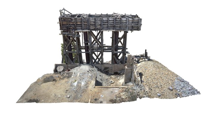
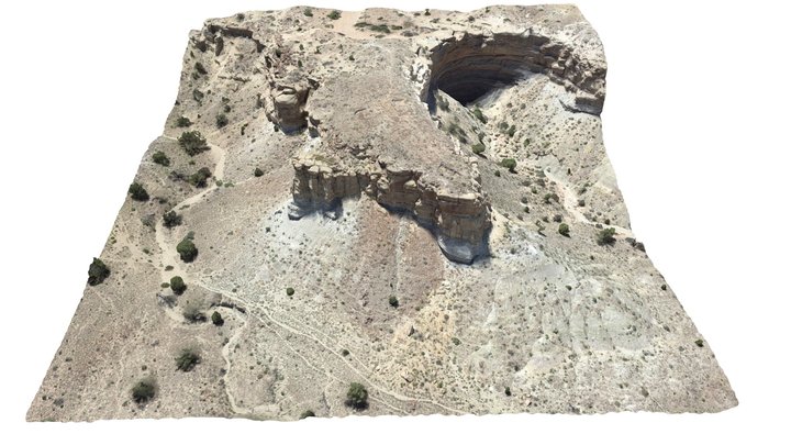
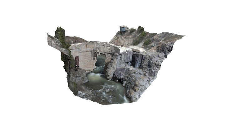
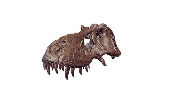
Popular 3D models
About
The Geospatial Imaging Services Section at the BLM National Operations Center provides timely, effective, operational, and appropriate integration of remote sensing and photogrammetry to support the mission of the Bureau.
Category
Organization / Other
Website
https://www.blm.gov/services/national-operations-center
Member since
August 9th 2019
Stats
34.8k views
580 likes
449.9M triangles
225.0M vertices
